Requirements:
In order to use thesedata you need to have ArcGIS9 or 10 installed on your computer.
How to get started:
1. Make sure that you have enough space on the drive on which you want to use the project. The complete set requires about 70 GB.
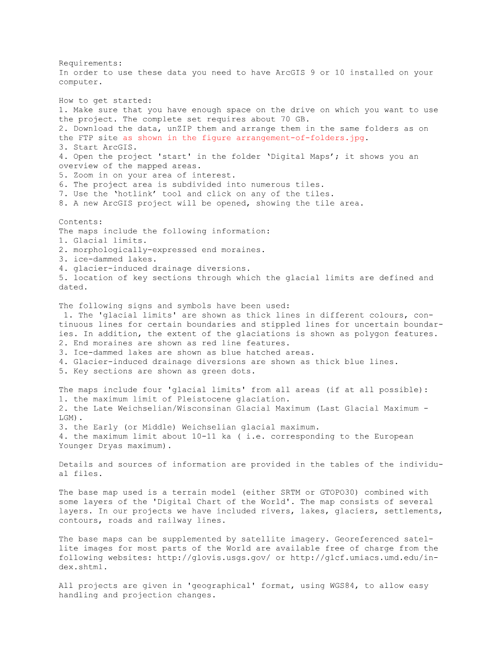
2. Download the data, unZIP them and arrange them in the same folders as on the FTP site as shown in the figure arrangement-of-folders.jpg.
3. Start ArcGIS.
4. Open the project 'start' in the folder ‘Digital Maps’; it shows you an overview of the mapped areas.
5. Zoom in on your area of interest.
6. The project area is subdivided into numerous tiles.
7. Use the ‘hotlink’ tool and click on any of the tiles.
8. A new ArcGIS project will be opened, showing the tile area.
Contents:
The maps include the following information:
1. Glacial limits.
2. morphologically-expressed end moraines.
3. ice-dammed lakes.
4. glacier-induced drainage diversions.
5. location of key sections through which the glacial limits are defined and dated.
The following signs and symbols have been used:
1. The 'glacial limits' are shown as thick lines in different colours, continuous lines for certain boundaries and stippled lines for uncertain boundaries. In addition, the extent of the glaciations is shown as polygon features.
2. End moraines are shown as red line features.
3. Ice-dammed lakes are shown as blue hatched areas.
4. Glacier-induced drainage diversions are shown as thick blue lines.
5. Key sections are shown as green dots.
The maps include four 'glacial limits' from all areas (if at all possible):
1. the maximum limit of Pleistocene glaciation.
2. the Late Weichselian/Wisconsinan Glacial Maximum (Last Glacial Maximum - LGM).
3. the Early (or Middle) Weichselian glacial maximum.
4. the maximum limit about 10-11 ka ( i.e. corresponding to the European Younger Dryas maximum).
Details and sources of information are provided in the tables of the individual files.
The base map used is a terrain model (either SRTM or GTOPO30) combined with some layers of the 'Digital Chart of the World'. The map consists of several layers. In our projects we have included rivers, lakes, glaciers, settlements, contours, roads and railway lines.
The base maps can be supplemented by satellite imagery. Georeferenced satellite images for most parts of the World are available free of charge from the following websites: or
All projects are given in 'geographical' format, usingWGS84, to allow easy handling and projection changes.
Errors:
In a project of this size we cannot hope to produce an error-free product. If you find any mistakes, please send an E-mail to .
Updates:
If you have additional or better information on any of the glacial features shown on the maps, please contact the authors, so that the digital maps can be updated.