06-096DEPARTMENT OF ENVIRONMENTAL PROTECTION
Chapter 114:CLASSIFICATION OF AIR QUALITY CONTROL REGIONS
SUMMARY:This regulation determines those areas that have been officially found to be exceeding the ambient air quality standards and are therefore nonattainment areas.It also designates which class of increment that will apply in each area.
1.For Prevention of Significant Deterioration purposes the Board hereby classifies Air Quality Control Regions as follows:
A.The Metropolitan Portland Air Quality Region, Portland Peninsula Air Quality Region, Central Maine Air Quality Region, Downeast Air Quality Region, Aroostook Air Quality Region, and Northwest Maine Air Quality Region shall be Class II Regions.
B.The Department shall have the authority to designate certain Regions or portions thereof as a nonattainment area according to the criteria and procedures set forth in the Federal Clean Air Act, as amended.
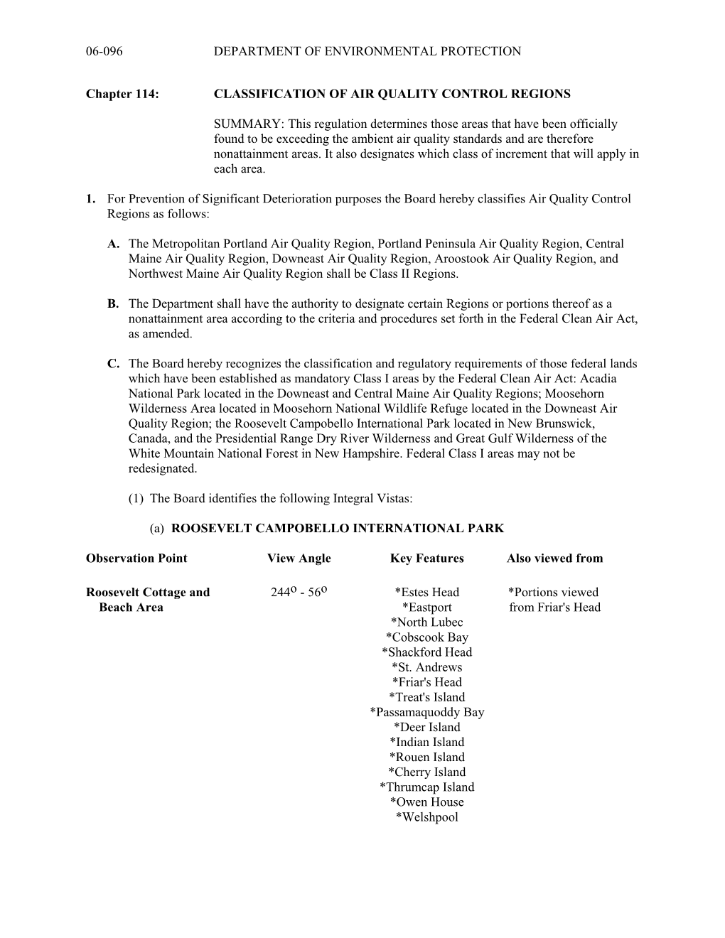
C.The Board hereby recognizes the classification and regulatory requirements of those federal lands which have been established as mandatory Class I areas by the Federal Clean Air Act:Acadia National Park located in the Downeast and Central Maine Air Quality Regions; Moosehorn Wilderness Area located in Moosehorn National Wildlife Refuge located in the Downeast Air Quality Region; the Roosevelt Campobello International Park located in New Brunswick, Canada, and the Presidential Range Dry River Wilderness and Great Gulf Wilderness of the White Mountain National Forest in New Hampshire.Federal Class I areas may not be redesignated.
(1)The Board identifies the following Integral Vistas:
(a)ROOSEVELT CAMPOBELLO INTERNATIONAL PARK
Observation PointView AngleKey FeaturesAlso viewed from
Roosevelt Cottage and244o 56o*Estes Head*Portions viewed
Beach Area*Eastportfrom Friar's Head
*North Lubec
*Cobscook Bay
*Shackford Head
*St. Andrews
*Friar's Head
*Treat's Island
*Passamaquoddy Bay
*Deer Island
*Indian Island
*Rouen Island
*Cherry Island
*Thrumcap Island
*Owen House
*Welshpool
Friar'sHead154o 94o *Roosevelt Cottage *Portions viewed
*Campobello Islandfrom Roosevelt
*WeirCottage and
*Friar's BayBeach area.
*Welshpool
Wilson's Beach
North Road
*Head Harbour Passage
Casco Island
Green Island
*Pope Island
*Thrumcap Island
*Cherry Island
*Rouen Island
*Indian Island
*Deer Island
*Passamaquoddy Bay
*Old Sow Whirlpool
St. Andrews
*Eastport
*Friar Roads
*Estes Head
*Perry
*Shackford Head
*Pembroke
*Cobscook Bay
*Treat's Island
Major's Island
*North Lubec
*Passamaquoddy Dam (portion of)
Roger's Island
Dudley Island
*Johnson's Bay
Pope's Folly
Cutler Naval Radio
Station
Lubec
Mulholland Point
Lighthouse
FDR Memorial Bridge
South Lubec
Grand Manan Island
Con Robinson's Point308o150o Herring Cove Beach *Portions viewed
Provincial Parkfrom Liberty
Eastern HeadPoint
Herring Cove
*Mainland New Brunswick
*Point LaPreau
*Wolf Islands
*Atlantic Ocean
*Grand Manan Island
Liberty Point34o236oRagged Point*Portions viewed from
*Mainland New Brunswick Con Robinson's
*Atlantic OceanPoint
*Wolf Islands
*Grand Manan Island
Sail Rock
West Quoddy Head Lighthouse
South Lubec
(b)ACADIA NATIONAL PARK
Observation PointView AngleKey Features
Cadillac Summit320o356o Lamoine State Park
Mt. Katahdin
Frenchman Bay
356o32o Lead Mountain
Schoodic Mountain
Gouldsboro Hills
Calf Island
32o68o Porcupine Islands
Stave Island
Jordan Island
Ironbound Island
Gouldsboro Bay
68o104o Winter Harbor
Turtle Island
Egg Rock
104o140o Atlantic Ocean
(Gulf of Maine)
140o176o Atlantic Ocean
Otter Cove
Baker Island
176o212o Little Cranberry Island
Duck Islands
Greater Cranberry Island
Seal Harbor
Sutton Island
Long Island
212o248o Placentia Island
Sunset Point192o228oLong Island
Placentia Island
Swan Island
Great Gott Island
Isle au Haut
256o300o Camden Hills
Bartlett Island
Western Bay
Blue Hill
300o336o Thomas Island
Frenchman Bay
336o12o Lamoine State Park
Hull's Cove (Acadia
National Park Visitor Center)
Mt. Katahdin
Duck Harbor Mountain352o5oBlue Hill
Caterpillar Mountain
336o352o Penobscot Bay
Duck Harbor
Mt. Ephraim
Mt. Waldo
Eagle Island
310o336o Islesboro Island
Bald Rock Mountain
Duck Trap Mountain
285o310o Megunticook Mountain
Bald Mountain
Dodge Mountain
Vinalhaven Island
270o285o Brimstone Island
Vinalhaven Island
Lighthouse Rock
245o270o Large Green Island
190o245o Matinicus Island
Ragged Island
Wooden Ball Island
Seal Island
Atlantic Ocean
D.Lands within the exterior boundaries of reservations of federally recognized Indian tribes may be redesignated only by the appropriate Indian governing body under the terms and procedures set forth in the Clean Air Act, 42 U.S.C.A. section 7474(e).
E.Prior to proposing the redesignation of any area for Prevention of Significant Deterioration purposes, the Board shall hold a public hearing which shall be conducted in the area proposed to be redesignated.Prior to the public hearing a report shall be made available with a description and analysis of health, environmental, economic, social and energy impacts of the proposed redesignation.Should the area proposed for redesignation include or be deemed to affect federally owned lands, the Board shall consult with the appropriate federal land manager prior to such redesignation.For the purpose of redesignating any areas other than those recognized mandatory Class I areas identified in Section 1(C), the procedural requirements or 40 CFR 51.24 (g) shall be followed.
AUTHORITY:38 M.R.S.A., Sections 583-B, 585-A
EFFECTIVE DATE:May 7, 1979
Amended: February 10, 1981
Amended: June 27, 1983
Amended: December 18, 1985
Amended: August 9, 1988
Amended: October 25, 1989
Amended: May 9, 1994
EFFECTIVE DATE (ELECTRONIC CONVERSION):May 8, 1996
Amended: August 29, 2012 – filing 2012-240
______
Chapter 114: Classification Of Air Quality Control Regions
- 1 -