PROPOSAL: THE CREATION OF THE GIS USER’S GROUP FOR THE CROSS RIVER BASIN
GIS User’s Group Champion: Elder Bong Duke (P.A ICT to His Excellency, the Cross River State Governor)
INTRODUCTION
This document provides information on the creation of the GIS user’s group in Calabar, Cross Rivers State. Following the EU/IWRM initiative in Cross River Basin, it is imperative for the implementation of GIS across the organisations be considered an integral aspect of operations in collating, managing, monitoring, maintaining geographic data and standards. The user’s group is based primarily on the Environmental Systems Research Institute (ESRI) software ArcGIS 9.2/9.3.
A GIS user group is a cooperative venture or partnership among public, private and academic organisations. The proposed GIS user group combines the powerful and unique data analysis, visualisation and data processing capabilities of ArcGIS software and technology with the knowledge and judgement of risk managers, GIS professionals and decision makers in the Cross Rivers State and Calabar. This will aid the stakeholders meet their business objectives through the use of GIS and also the GIS user group and serve as point of focus for GIS implementation and use at their respective organisations.
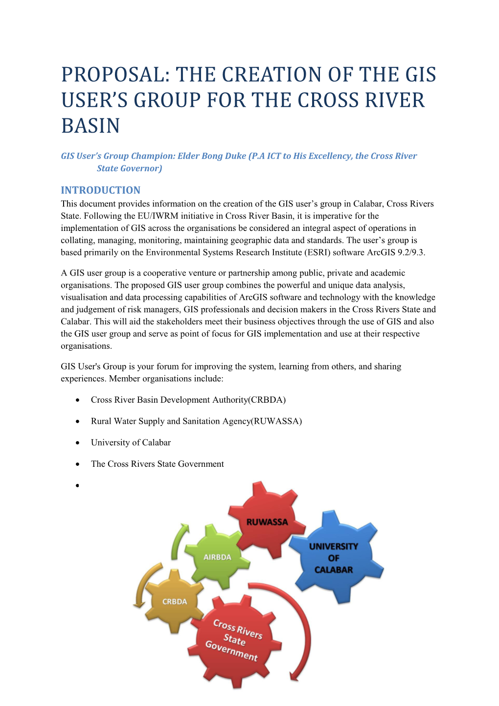
GIS User's Group is your forum for improving the system, learning from others, and sharing experiences. Member organisations include:
- Cross River Basin Development Authority(CRBDA)
- Rural Water Supply and Sanitation Agency(RUWASSA)
- University of Calabar
- The Cross Rivers State Government
- Anambra/Imo River Basin Development Authority(AIRBDA)
GIS USER GROUP STEERING COMMITTEE
Identified stakeholders will include the following:
ID / Stakeholder / Organisation / Position001 / Engineer Winston Esin / CRBDA / Hydrologist
002 / Mrs Emma Hogan / CRBDA / Chief Hydrologist
003 / Professor Aniekan Edet / University of Calabar
004 / Nwozor Raphael / RUWASSA / GIS specialist
005 / Adewale Adegoke / EU/ITAD / Champion/GIS specialist
006 / Mr Bassey ekpo / CRBDA / Chief Geophysicist
007 / SA Economics / State government / Economists
OBJECTIVES
- Develop mechanisms and relationships to share ideas and information.
- Establish and strengthen the GIS focal points in each organisation to improve the use and permeability of GIS in respective organisation.
- Create GIS awareness generally and of other organisations capabilities.
- Encourage GIS dataset sharing and promote inter-agency collaboration.
- Exit and sustainability strategy for the perpetuation of the EU projects in the Cross River Basin.
BENEFITS
- GIS knowledge updates and information and sharing platform culminating in growth in GIS capabilities.
- Forum based interactive GIS problem solution.
- Propel the implementation of new GIS technologies and also aid in permeating and perpetuating the continual implementation of GIS strategies among the stakeholders.
- Implementation of database and spatial data standards.
PROPOSED ACTION PLAN
The recipe for a successful GIS user’s group is voluntary commitment. It is important for the stakeholders and members of the steering committee to be dedicated to the success of the user’s group. The immediate and long term benefits can be realised through this collaborative effort.
JECT
IDENTIFIED ORGANISATIONAL OBJECTIVES
Organisation / objectivesCRBDA/AIRBDA / Improve the sustainable use of water, its extraction over time and its quality.
RUWASSA / The overall objective of the RUWASSA project is to
improve the quality of life in the project area through a
sustainable reduction in water related diseases by the
provision of clean water, promoting sanitation facilities and hygienic practices.
State Government / Sustainable economic development.