Maps and Mapping in the Classroom
Looking to use customized maps in your classroom? Do you want to have student create customized maps for an assignment or presentation? Do you want your maps to be shared or available to the general public?
ESRI’s ArcGIS onlineis a complete, cloud-based mapping platform allows you to make and share thematic maps, as well as use the multiple map layers available from ESRI’s extensive platform. With ArcGIS you can create a map that can be viewed in a browser, desktop or mobile device. You can also share it on a blog, via email, or embed it in a website. View the short introductory video on What is ArcGIS?
You can sign up for a 60-day free trial at the ArcGIS website. The free trial gives you access to ArcGIS for Desktop Advanced (including ArcGIS Pro and ArcMap), access to popular ArcGIS extensions, access for up to five people, a total of 200 ArcGIS Online service credits (can be used for data storage, premium data access, or performing geocoding and analysis), a suite of ready-to-use apps that help you work anywhere and on any device, and access to developer tools including APIs and SDKs.
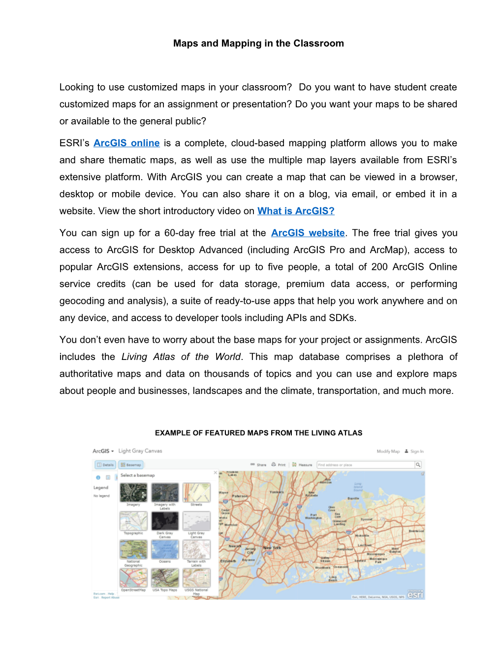
You don’t even have to worry about the base maps for your project or assignments. ArcGIS includes the Living Atlas of the World.This map database comprisesa plethora of authoritative maps and data on thousands of topics and you can use and explore maps about people and businesses, landscapes and the climate, transportation, and much more.
EXAMPLE OF FEATURED MAPS FROM THE LIVING ATLAS
ESRI’s website has multiple resources and tutorials to help you start your projects and use the wide assortment of mapping tools and resources, such as:
- Explore a web map;
- Create a new map;
- Publish a map as a web app;
Using GIS software such as ArcGIS in departmental programs offers students the opportunity to learn technical skills that can be applied in a multitude of courses and disciplines. ESRI also offers the full ArcGIS platform with an Education Site License. A Site License is an institution-wide agreement for software, web courses, technical support and Esri User Conference passes that makes GIS widely available for teaching, research, and campus administration. For more information on how to get an Esri Education Site License Program see the institutional website on Education.